Recently
Source:
اليوم السابع
اليوم السابع
Ready to play
Ready to play
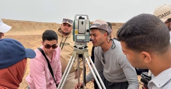
The Tantah University article explains that the Surveying, Mapping, and Geographic Information Systems program aims to qualify graduates capable of working with the latest technologies in the fields of surveying, digital mapping, and spatial data management. The program supports urban development, agricultural projects, and social services initiatives. It includes both theoretical and practical training, along with a field study at Ras Mohamed Protected Area in South Sinai, where data was collected and analyzed using Geographic Information Systems (GIS) to produce high-precision maps. The goal is to enhance students' abilities to solve practical challenges and contribute to natural resource management and sustainable development.
Notice: This Is an AI-Generated Summary
_1777352244987_250242181.png&w=64&q=75)





Comments (0)