






Low-pressure system brings rain to central Mediterranean
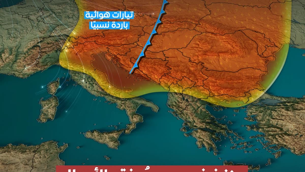
According to the latest atmospheric maps, a deep low-pressure system is approaching the central Mediterranean Sea at the end of the week. It will be accompanied by a cold air front and increased atmospheric disturbances. The passage of this front is expected to trigger a strong instability in the weather, with the proliferation of cumulonimbus clouds and heavy rainfall that may be accompanied by thunderstorms and hail showers. This situation raises the risk of floods and flash floods, especially in coastal and mountainous areas. Additionally, the low-pressure system will bring strong winds that can lift dust, disturb maritime conditions, and cause high waves. Residents are advised to follow weather updates and avoid the dangers posed by floods and severe winds.
Notice: This Is an AI-Generated Summary
Comments (0)