






UN updates on world maps
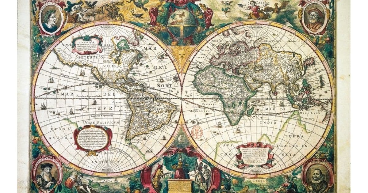
The General Assembly of the United Nations adopted a resolution aimed at supporting the use of maps that reflect the true sizes of continents more accurately, especially Africa. This is instead of relying on the Mercator projection, which distorts the sizes of landmasses, making some areas appear much larger or smaller than they really are. In such maps, Africa appears smaller than its actual size relative to Greenland, which looks 14 times larger. The resolution proposes using an equal-area projection that preserves the proportional sizes of regions, although it can distort shapes. There is no perfectly ideal map due to geometric and mathematical limitations, but the goal is to improve the representation of the continents' sizes worldwide. A total of 164 countries voted in favor of the resolution, with only the United States opposing it.
Notice: This Is an AI-Generated Summary
Comments (0)