



_1777011671128_85597701.png&w=64&q=75)


Africa's Map in UN Endorsed Version
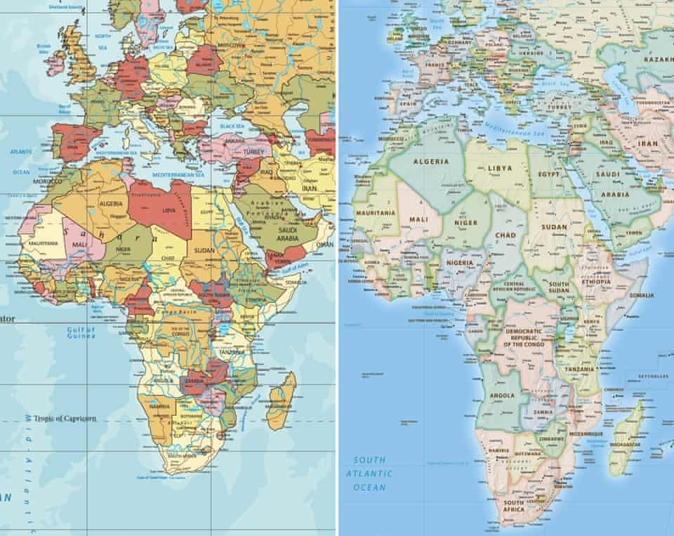
The United Nations General Assembly adopted a non-binding resolution calling for the use of an accurate world map that reflects the true size of the continents, instead of the Mercator projection map created in 1569. The Mercator map significantly enlarges Africa beyond its actual size while shrinking other regions near the equator. A total of 164 countries voted in favor of the resolution, while the United States opposed it and six countries abstained. This change aims to improve the understanding of the true size of continents, especially in educational curricula. It is supported by the African Union and France, which plans to gradually replace outdated maps with ones that accurately depict sizes, in order to correct the old portrayal and achieve a more precise geographic image.
Notice: This Is an AI-Generated Summary
Comments (0)