



_1777011671128_85597701.png&w=64&q=75)

Google Maps shows disputed borders in Ceuta and Melilla
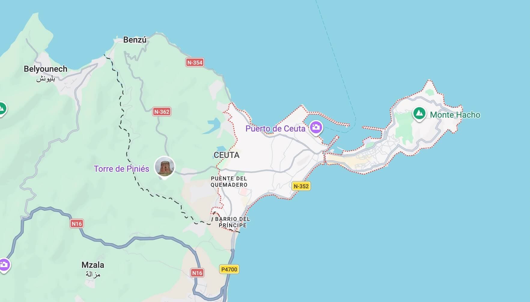
The article discusses how Google Maps continues to display the borders of the cities of Ceuta and Melilla with Morocco using dashed gray lines. This pattern is commonly used to indicate areas with sovereignty disputes, reflecting the company's non-recognition of Spain's ultimate sovereignty over these cities. Google confirmed that these policies are based on international sources and standards, and that it has been using this representation since 2020 to clarify the existence of border disagreements. This ongoing dispute between Morocco and Spain is thus reflected, with Madrid considering the cities part of its territory, while Morocco asserts its sovereignty over them.
Size: 120%Text Size
Notice: This Is an AI-Generated Summary
Comments (0)