






Low-pressure system hits central Mediterranean
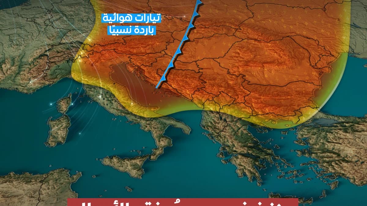
The latest satellite weather maps indicate the approach of a deep low-pressure system heading toward the Central Mediterranean by the end of the week, accompanied by a cold air front and increased atmospheric disturbances moving toward the Balkans and Turkey. It is expected that the passage of this front will lead to a period of strong weather instability, characterized by the widespread development of cumulonimbus clouds and heavy to very heavy rainfall, especially in coastal and mountainous areas. There is also the potential for thunderstorms and hail. Additionally, the heavy rains may cause flooding and rising water levels, increasing the risk of localized floods. The region will also experience strong winds that could disrupt maritime conditions and generate high waves, along with dust stirred up in open areas. Residents are advised to monitor weather updates, avoid crossing valleys during heavy rain, and remain cautious of strong winds and storms.
Notice: This Is an AI-Generated Summary
Comments (0)