




UN releases new global maps
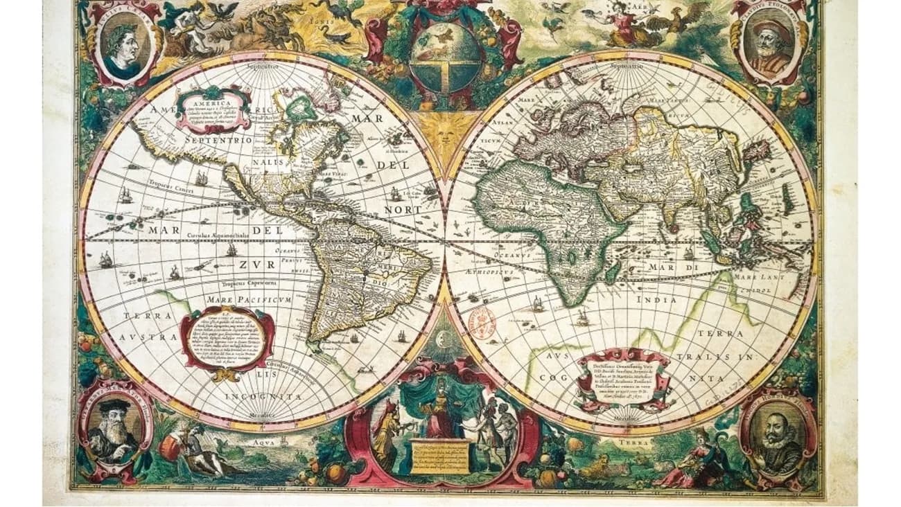
The article discusses the United Nations General Assembly's decision to facilitate the use of maps that accurately depict the true sizes of continents, especially Africa, by adopting an equal-area projection instead of the Mercator projection used since the 16th century. It explains that the Mercator projection distorts the sizes of regions south of the equator, making Greenland appear larger than Africa despite Africa being 14 times larger. The Mercator projection also tends to preserve directions for navigation at the expense of spatial accuracy. In contrast, the equal-area projection maintains the proportional sizes of regions but causes shape distortion and compressed or stretched distances, resulting in continents that appear folded or squeezed. There is no fully accurate flat map, but spherical maps are generally more precise. Nevertheless, it is recommended to adopt projections that more accurately reflect the true sizes of regions, especially Africa, to foster a better understanding of real distances and geographic proportions.
Notice: This Is an AI-Generated Summary
Comments (0)