20 Hrs
Source:
تونزي تيليغراف
تونزي تيليغراف
Ready to play
Ready to play
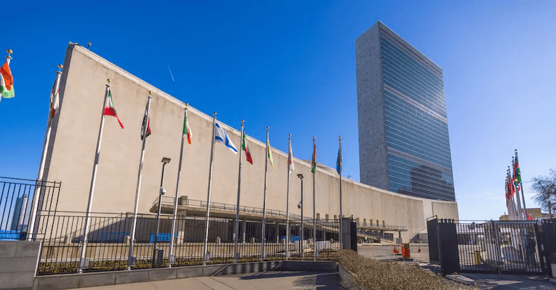
The article discusses the geographical and political movements surrounding the maritime borders in the Mediterranean Sea and their impact on resource exploitation rights, particularly for gas and oil. Italy updated the coordinates of its maritime boundaries with the United Nations in September 2026 to revise its legal and technical reference points, which may influence its exclusive economic zone. Additionally, disputes have arisen among several countries—such as Libya, Greece, and Italy—regarding rights over the continental shelf and maritime areas. Libya emphasizes its claims based on the rulings of the International Court of Justice, while Greece objects to some of Libya's claims, especially concerning the island of Crete. Furthermore, the seabed, oil and gas reserves, as well as submarine cable networks, hold strategic importance. These features can determine rights for exploration and connectivity between regional states and Europe. As tensions escalate between Turkey, Libya, and Greece over areas designated for energy exploration and extraction, this new geographical map underscores the significance of the Mediterranean's evolving boundaries in shaping the future of its resources.
Notice: This Is an AI-Generated Summary





Comments (0)